

Source: The Hindu (Earthquake)
Why in News?
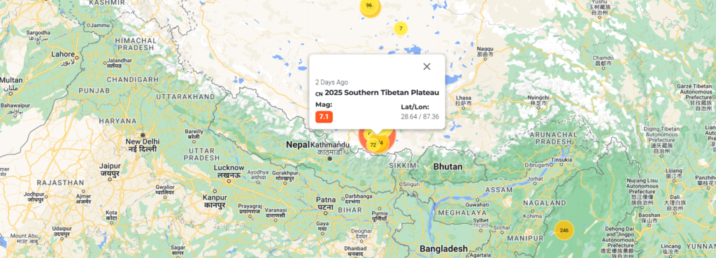
At 6:35 am IST on January 7, 2025, a 7.1-magnitude earthquake struck the Tibetan region of China and Nepal. The epicenter was located 10 km below Tingry County in Tibet’s Shigatse region, about 80 km north of Mt. Everest. As of 7:00 pm IST, 95 deaths and 130 injuries have been reported by Chinese authorities, with hundreds of homes flattened. Tremors were felt as far as Kathmandu (Nepal), Thimphu (Bhutan), and Kolkata (India).
Relevance with UPSC Syllabus
- GS Paper 1: Geography (Earthquakes, Plate Tectonics)
- GS Paper 2: India-China Relations (Geopolitical Implications of the Yarlung Tsangpo Mega-Dam)
- GS Paper 3: Disaster Management, Environmental Concerns, and Strategic Resources
Location and Significance of Tingry County
- Geography and Demography:
- Tingry County lies in the Shigatse region of Tibet, which averages an altitude of 4-5 km above sea level.
- Home to around 7,000 residents, the county serves as a gateway to Mt. Everest and is a popular tourist spot, though tourist activity is lower during winter.
- Cultural Significance:
- Shigatse is the seat of the Panchen Lama, a significant figure in Tibetan Buddhism, underscoring the region’s spiritual importance.
- The Dalai Lama expressed condolences, offering prayers for the deceased and wishes for the injured to recover swiftly.
- Strategic Importance:
- Tingry County is located within the Lhasa terrane, a fragment of the Earth’s crust hosting China’s world’s largest hydroelectric project on the Yarlung Tsangpo River. This river flows into India’s Arunachal Pradesh and Assam, becoming the Brahmaputra, making the quake geopolitically significant.
Implications of the Earthquake Location
- Hydroelectric Projects and Water Security:
- The Yarlung Tsangpo River is the site of a new mega-dam project, expected to generate 300 billion kWh annually.
- India has expressed concerns over the dam’s impact on the Brahmaputra’s flow and its perennial status. Earthquakes in this region could further destabilize hydrological systems and infrastructure.
- Himalayas: The ‘Third Pole’:
- The region is considered the planet’s ‘third pole’ due to its vast water reserves in glaciers, lakes, and rivers, which affect millions of downstream populations.
- Earthquakes can destabilize glaciers and lakes, altering river courses and increasing the risk of flooding.
- Geological Activity in the Lhasa Terrane:
- Since 1950, 21+ earthquakes (magnitude 6 or higher) have been recorded in the Lhasa terrane.
- The strongest recent earthquake in the area occurred in Mainling (2017) with a magnitude of 6.9, located 960 km east of Tingry County.
Cause of the Earthquake
- Tectonic Plate Collision:
- The Himalayan mountain range was formed about 50 million years ago when the Indian plate collided with the Eurasian plate, creating massive folds.
- The Indian plate continues to push into the Eurasian plate at 60 mm/year, causing tension that occasionally releases as earthquakes.
- Historical Seismic Activity:
- The region’s high seismicity is attributed to ongoing tectonic movements.
- Understanding the distribution of stress accumulation and release patterns is key to predicting future earthquakes.
This earthquake highlights the need for an integrated approach to disaster preparedness, geopolitics, and environmental sustainability in the Himalayan region.
Probable UPSC Questions:
- Discuss the seismic significance of the Himalayan region and its implications for infrastructure projects like hydroelectric dams.
- Examine the role of plate tectonics in shaping the geography of the Himalayan region, with reference to recent seismic activity.
- How does seismic activity in the Himalayas impact India’s water security? Discuss with examples.
